|
|

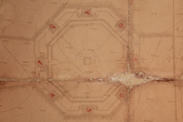
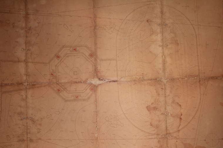
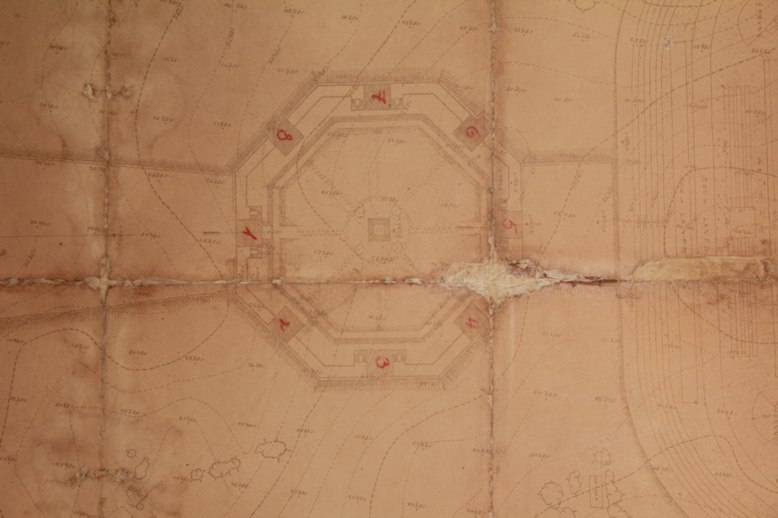
An original geodesic map of The Tannenberg Denkmal with the hallmark and signatures of Walter and Johannes Krüger, numbered "15a". 
The photographs were made thanks to the courtesy of the Director of Ostróda Museum where the map is currently kept.
|

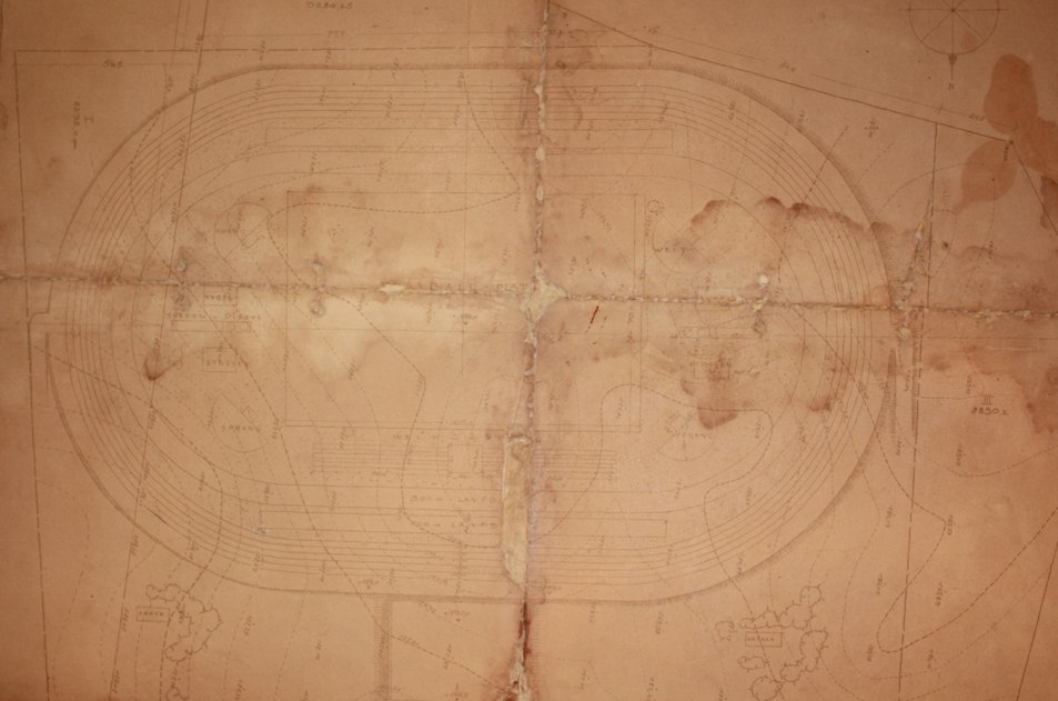
A map measuring ca. 140x100 cm in the 1:300 scale, featuring the octagonal monumental complex and the sports stadium. 
A fragment with the plan of the sports stadium. |
|||
| |||||
